Connect With Your Community!
Connect With Your Community!
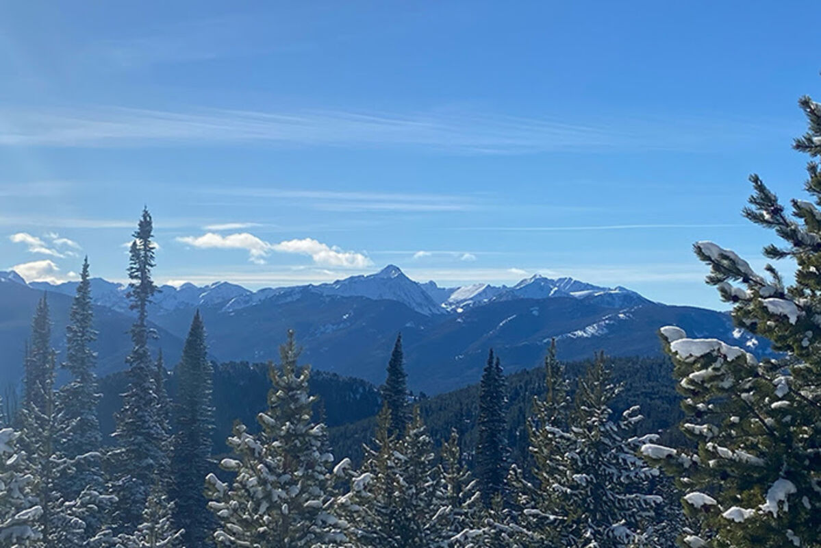
Spanish Peaks southwest of Bozeman on January 21, 2023. Most of January consisted of warm, sunny days and a lack of precipitation.
Following nearly three months of abundant precipitation across much of Montana, weather patterns changed in early January, producing relatively dry conditions for the month. January precipitation totals were lowest along the Rocky Mountain Front, northeastern Montana, and western Montana. Most of southwest Montana received slightly less than normal January precipitation. "The storm which brought two to three feet of mountain snow in many locations during the last week of January really saved us. Without that storm, basin-wide snowpack percentages across much of Montana might have looked similar to last year at this time," said Eric Larson, USDA Natural Resources Conservation Service (NRCS) Water Supply Specialist. The exceptions were the Bighorn, Powder, and Tongue River basins and part of central Montana, which received above normal January precipitation.
Snowpack percentages dropped since last month in those basins that received below normal January precipitation. River basins west of the Continental Divide saw a 20-30% decrease in their snowpack percentages, while Rocky Mountain Front basins saw a 30-35% decrease since January 1. "The good news is above normal snowfall during November and December provided enough of a buffer that the snowpack is still in good condition in most locations," said Larson. Snowpack percentages are near to above normal east of the Continental Divide, except for the Rocky Mountain Front which is currently about 80-90%. West of the divide snowpack percentages are generally worse along the Idaho border at about 80-85%. They are slightly better in the Flathead and Upper Clark Fork River basins at about 90-95% of normal.
"There is still time remaining to recover from any snowpack deficits, but basins that are well below normal will ideally start recovering soon in order to reach normal snowpack conditions by the end of the snow year," said Larson. River basins in northwest Montana have the largest deficit to recover from. High elevation SNOTEL stations in the Flathead, Kootenai, Lower Clark Fork, and Bitterroot River basins are about five to seven inches of snow water equivalent less than normal for February 1. While that could be recovered in a couple large storms, there are only two to three months remaining to make that recovery. SNOTEL stations in the southern Madison and Gallatin River basins have a surplus of about two to four inches of snow water equivalent for February 1, which will act as a small buffer in the event of below normal precipitation ahead.
Currently the outlook from NOAA's Climate Prediction Center indicates near-to-below normal temperature and near-to-above normal precipitation is likely over the next couple weeks across Montana. Additionally, the one-month outlook indicates below normal temperatures are likely in western Montana and above normal precipitation is likely across all of Montana. With two to three months remaining in the typical snowpack accumulation season, some uncertainty remains in terms of what spring snowmelt will provide for water supply.
A full report of conditions on February 1 can be found in the monthly Water Supply Outlook Report available on the Montana Snow Survey website. In addition, real-time snow survey data can be found at nrcs.usda.gov/montana. Click on Montana Snow Survey Program.