Connect With Your Community!
Connect With Your Community!
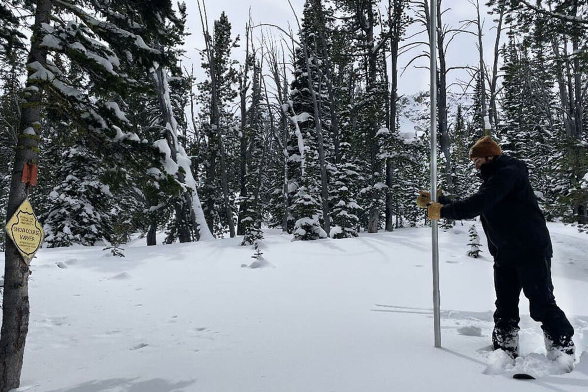
Photo of Montana Snow Survey Hydrologist Colin Kultys surveying Slag-A-Melt Lake Snow Course in the Beaverhead Mountains on March 28, 2023, a region that experienced active weather in March and rebounded from below normal conditions last month.
As we enter spring and the typical snowpack peak season, the water supply outlook is currently good across most of Montana. That can be attributed to consistent and mostly above normal precipitation this water year. "March precipitation continued the trend of exceptional moisture received this year on the east side of the Continental Divide," said Eric Larson, USDA Natural Resources Conservation Service (NRCS) Water Supply Specialist. East of the divide, March precipitation ranged from about 100% of normal in the Bighorn Mountains to nearly 170% of normal in the Jefferson River basin.
The exception is the northern Rocky Mountain Front, which has had below normal precipitation this water year like the rest of northwest Montana. "Montana was on the northern tier of the storms that tracked across California, Nevada, and Utah last month and provided record precipitation to those states. Those storms benefitted southwest Montana more than northwest Montana," said Larson. That has mainly been the case all year and currently the western Bitterroot, Lower Clark Fork, Kootenai, northern Flathead, and Rocky Mountain Front have had below normal precipitation since October 1.
Snowpack percentages decreased from March 1 in the Flathead and Saint Mary River basins and all other major basins remained the same or saw an increase. "The largest snowpack gains occurred in southwest and central Montana, which built on an already exceptional snowpack," said Larson. April 1 snowpack percentages east of the divide range from about 115% in the Bighorn River basin to about 135% in central Montana. The Rocky Mountain Front snowpack is currently about 90-95% of normal, and the snowpack in the Bears Paw Mountains is about 250% of normal. West of the divide snowpack percentages are about 80-90% in the northern Kootenai and northern Flathead River basins. Snowpack conditions are more favorable further south on the west side of the divide at about 90-105% of normal. "The Flathead River basin is very large, and the basin wide snowpack percentage is currently elevated by the deep snowpack in the southern Flathead region," said Larson. The Upper Clark Fork River basin snowpack is more similar to east of the divide conditions at about 115% of normal.
"While overall there is more snow east of the divide compared to the last couple years, several recent years had more region-wide snow. Looking at the last 15 years that includes 2018, 2014, 2011," said Larson. With that said, SNOTEL stations in the southern Jefferson, Madison, Gallatin, Smith-Judith-Musselshell, and Tongue River basins are currently reporting snow water equivalent amounts in the 90th percentile of their 1991-2020 dataset. Additionally, Short Creek SNOTEL in the Gravelly Mountains, Highwood Station Snow Course in the Highwood Mountains, Tie Creek SNOTEL in the Bighorn Mountains, and Cole Canyon SNOTEL in the Bear Lodge Mountains have their highest April 1 snowpack on record.
"Mountain snowpack peak season is upon us and conditions are on track across most of the state except in northwest Montana which is generally lacking snow," said Larson. The snowpack usually peaks in early May at upper elevations and April at lower mountain elevations. Much of the lower mountain elevation snowpack east of the divide has already reached normal peak levels, particularly in central Montana and southern mountains of Gallatin, Madison, and Beaverhead counties where some SNOTEL stations have already exceeded their normal snow water equivalent peak by several inches. Elsewhere upper elevations are still generally two to three inches below normal peak levels. In those locations, normal precipitation during April will be necessary in order to reach normal peak snow water equivalent values at an ideal time. Well above normal April precipitation will be required in the furthest northwest part of Montana in order to reach typical peak levels this year.
April 1 streamflow forecasts are in line with current water year precipitation and the resulting snowpack. Streamflow forecasts have increased from last month in the regions that received above normal March precipitation. "Due to the exceptional snowpack in southern Beaverhead, Madison, and Gallatin counties, streamflow forecasts range from about 120% to 180% of normal. In that region, many of those forecasts are the highest or second highest in 10 years and comparable to 2018 and 2014," said Larson. Streamflow forecasts are within 10% of normal in northern Wyoming. West of the divide, streamflow forecasts are highest in the southern Mission Mountain region and the Upper Clark Fork River basin at about 110-130% of normal. Streamflow forecasts in the northern Kootenai and northern Flathead River basin are at about 70-90% of normal.
A full report of conditions on April 1 can be found in the monthly Water Supply Outlook Report available on the Montana Snow Survey website. In addition, real-time snow survey data can be found at nrcs.usda.gov/montana. Click on Montana Snow Survey Program.